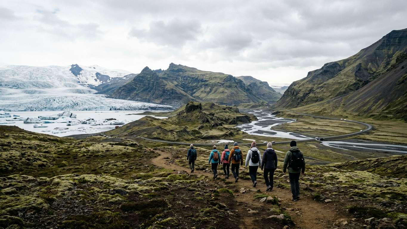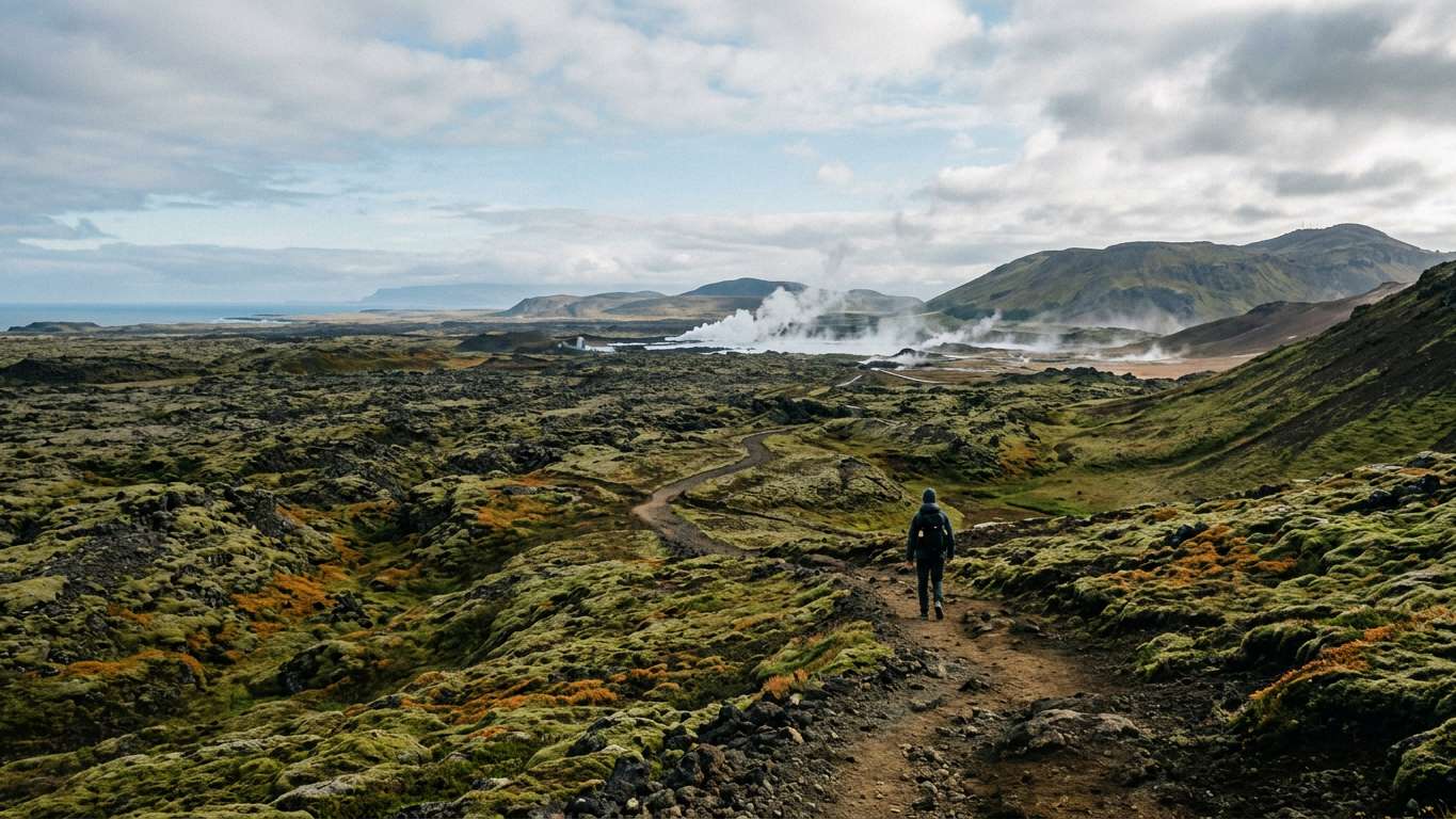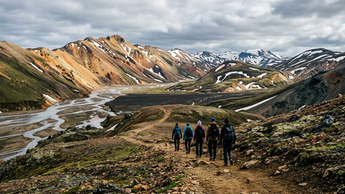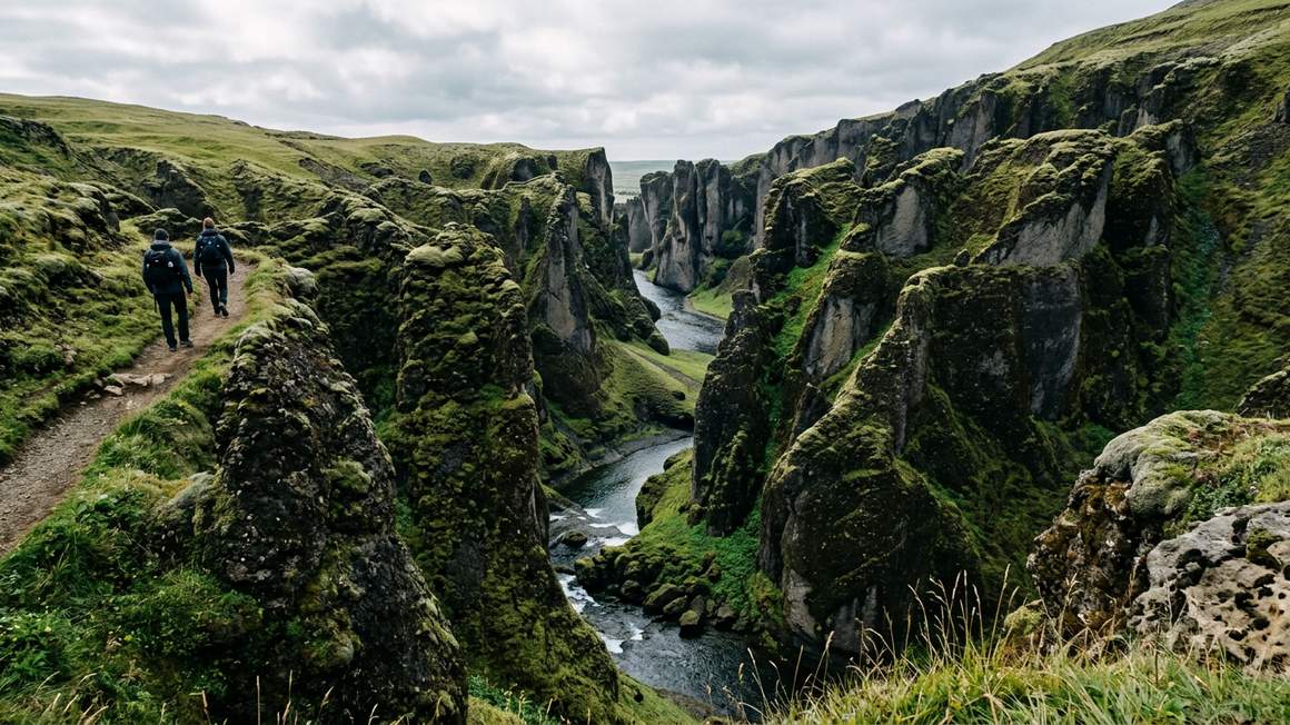
- The canyon sits near the Ring Road in south east Iceland, not far from Kirkjubæjarklaustur village
- A one-mile hike along the eastern edge leads to an observation platform with waterfall views
- Authorities closed the site in May 2019 after visitor surges threatened the environment, so check current access before you go
Location and Access
Fjaðrárgljúfur sits in south east Iceland near the Ring Road. The canyon lies not far from Kirkjubæjarklaustur village.
Check road.is before you go, as conditions change throughout the year. Verify current access on safetravel.is before planning your visit.
South Coast Tours Including Fjaðrárgljúfur
More on GetYourGuide Top ratedDay trip · 4 - 6 hoursFrom Reykjavík: Fagradalsfjall Volcano Hike with Geologist★ 4.8 882 reviews✓ Free cancellationfrom €139 per personSee availability →
 Guided tour · 14 hoursFrom Reykjavik: Glacier Lagoon and Fjaðrárgjúfur Canyon Tour★ 4.8 454 reviews✓ Free cancellation✓ Pickup availablefrom €205 per personSee availability →
 Day trip · 4 - 6 hoursFagradalsfjall Volcano Hike: The Original Local Experience★ 4.9 740 reviews✓ Free cancellationfrom €137 per personSee availability →
Geology and Formation
The canyon's origins date back about two million years to the cold periods of the Ice Age. Progressive erosion by flowing water from glaciers carved through palagonite rock and other geological layers over millennia.
The result is a gorge about 2 kilometres long. Steep walls reach up to 100 metres deep in places. The Fjaðrá river continues to flow through the canyon bottom, winding between the towering walls.
| Feature | Measurement |
|---|---|
| Maximum depth | 100 metres (330 feet) |
| Length | 2 kilometres (1.2 miles) |
| Age | Approximately 2 million years |
| Trail distance | One mile to observation platform |
- Dramatic geology: steep canyon walls up to 100 metres deep carved by glacial meltwater over millennia
- Located near the Ring Road in south east Iceland
- One-mile hiking trail offers changing perspectives of the canyon and river below
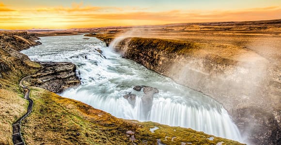
- Waterfall on the western side visible from the observation platform at trail's end
- The name Fjaðrárgljúfur means 'feather river canyon', reflecting the delicate appearance of the Fjaðrá river
- The canyon was closed to visitors in May 2019 due to environmental damage from increased tourism
- Current access status requires verification on safetravel.is before planning your visit
- Weather conditions can change quickly in this region, affecting trail safety
The Hiking Trail
A one-mile trail runs along the eastern edge of the canyon, ending at an observation platform. This vantage point offers views of a waterfall that flows down the western side.
The trail follows the canyon rim, giving you changing perspectives of the steep walls and the river below. Dress in layers and wear sturdy footwear, as conditions underfoot can vary.
Visitor Impact and Closure
In May 2019, authorities closed Fjaðrárgljúfur to visitors. The canyon had appeared in a music video for Justin Bieber's 'I'll Show You'. The resulting stream of visitors threatened to damage the canyon's fragile environment.
The closure highlighted the environmental pressure that sudden tourism surges can create in sensitive natural areas. Before planning a visit, check safetravel.is for current access information and any restrictions in place.
Compare prices, reviews and free-cancellation options before you book.
Check availability →Combining With Other South Iceland Sites
The canyon's proximity to the Ring Road makes it straightforward to reach on self-drive tours. Plan your route carefully, accounting for driving times and daylight hours.
Check safetravel.is to confirm current access before including it in your itinerary.
Practical Considerations
Check safetravel.is before you go to confirm whether the site is open to visitors. Weather in south Iceland can shift rapidly, affecting both road conditions and trail safety.
The pronunciation of Fjaðrárgljúfur is approximately 'fyath-rar-glyoo-vur', though locals will appreciate any honest attempt. Pack water and snacks, as facilities in this area are limited.
Allow enough time to walk the one-mile trail to the observation platform and return. The experience depends on current access, so verify conditions before including it in your itinerary.
Fjaðrárgljúfur offers striking canyon views carved by two million years of glacial erosion. You must verify current access on safetravel.is before planning a visit. The one-mile hiking trail and 100-metre-deep gorge reward those who can reach it.
More tours to compare
More on GetYourGuide BestsellerDay trip · 10 hoursReykjavík: South Coast Waterfalls, Black Sand & Glacier Tour★ 4.8 12 900 reviews✓ Free cancellation✓ Pickup availableBooked 52 times yesterdayfrom €104 per personSee availability →
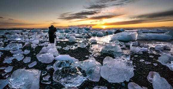 Day trip · 1 dayGlacier Lagoon Jökulsárlón & Fjallsárlón, Diamond Beach, Vík✓ Free cancellation✓ Pickup availablefrom €181 per personSee availability →
 BestsellerDay trip · 7 - 8.5 hoursReykjavik: Golden Circle Full-Day Tour with Kerid Crater★ 4.8 27 830 reviews✓ Free cancellation✓ Pickup availableBooked 77 times yesterdayfrom €79 per personSee availability →
Frequently asked questions
How deep is Fjaðrárgljúfur canyon?
The canyon is up to 100 metres (330 feet) deep. The Fjaðrá river flows through the bottom, having carved the gorge over about two million years.
Where is Fjaðrárgljúfur located in Iceland?
Fjaðrárgljúfur is in south east Iceland near the Ring Road, not far from Kirkjubæjarklaustur village.
Is Fjaðrárgljúfur canyon open to visitors?
Authorities closed the canyon in May 2019 after visitor surges threatened the environment. Check safetravel.is for current access status before planning your visit.
How long is the hike at Fjaðrárgljúfur?
The trail is one mile long, running along the eastern edge to an observation platform. From there you can see a waterfall on the western side of the canyon.
What does Fjaðrárgljúfur mean?
The name means 'feather river canyon', referring to the Fjaðrá river that flows through it. The canyon is about 2 kilometres long.