- Sólheimajökull lies 180 km southeast of Reykjavík between Katla and Eyjafjallajökull volcanoes
- Vatnajökull ice cap has around 30 outlet glaciers and covers approximately 8% of Iceland
- Check safetravel.is before you go as conditions change rapidly
Where Glacier Hikes Take Place
Sólheimajökull is part of Mýrdalsjökull, which sits atop the Katla caldera in southern Iceland. The glacier lies between Katla and Eyjafjallajökull volcanoes and is located near Vík, about 180 km southeast of Reykjavík.
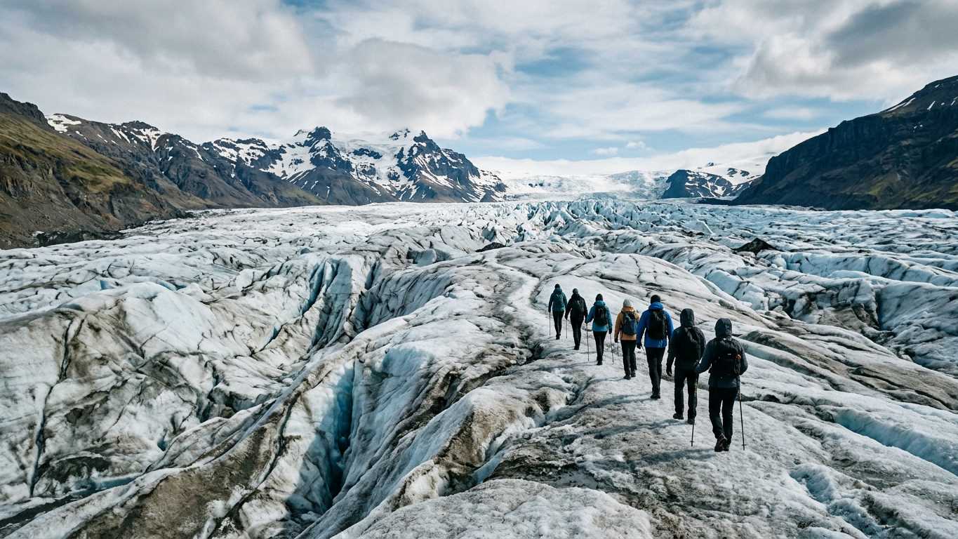
Vatnajökull covers 7,700 km² and is the largest ice cap in Iceland. Vatnajökull has around 30 outlet glaciers. Outlets near Skaftafell in Vatnajökull National Park include Svínafellsjökull and Skaftafellsjökull. These flow between the Hrútsfjallstindar peaks, which range from 1,756 m to 1,875 m high.
Langjökull, Iceland's second-largest ice cap, also offers glacier access and hosts the Into the Glacier man-made ice tunnel. Tours to Langjökull often combine glacier walking with snowmobile or super jeep transport.
Glacier Hike Tours in Iceland
More on GetYourGuide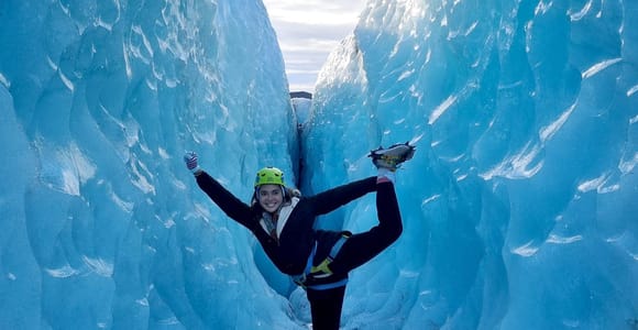 Top ratedDay trip · 11 hoursReykjavik: Glacier Hike, Waterfall and Black Sand Beach★ 4.8 1 778 reviews✓ Free cancellation✓ Pickup availablefrom €180 per personSee availability →
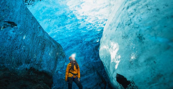 Day trip · 4 hoursSkaftafell: Blue Ice Cave & Glacier Hike on Vatnajökull★ 4.6 943 reviews✓ Free cancellationfrom €140 per personSee availability →
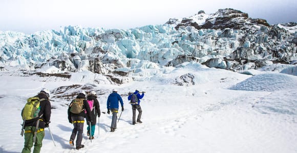 Guided tour · 4 hoursSkaftafell: Blue Ice Glacier Hike on Vatnajökull★ 4.7 1 642 reviews✓ Free cancellationfrom €92 per personSee availability →
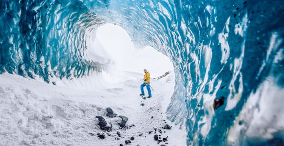 BestsellerDay trip · 4 hoursSkaftafell: Ice Cave Tour and Glacier Hike★ 4.6 2 021 reviews✓ Free cancellationfrom €140 per personSee availability →
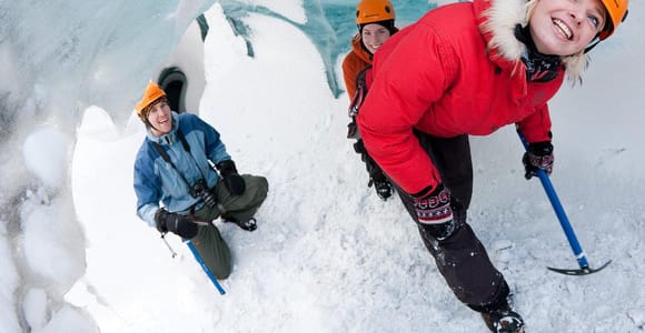 Guided tour · 4 - 13.5 hoursSólheimajökull: Blue Ice Glacier Hike near Vík★ 4.7 1 507 reviews✓ Free cancellation✓ Pickup availablefrom €93 per personSee availability →
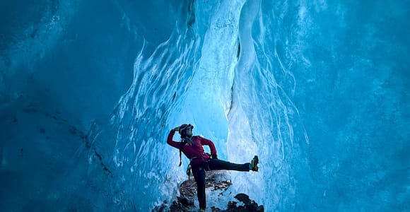 Day trip · 3 - 4.5 hoursSkaftafell: Blue Ice Glacier Hike & Winter Ice Cave Option★ 4.7 600 reviews✓ Free cancellationfrom €92 per personSee availability →
Sólheimajökull vs Skaftafell Outlets
| Factor | Sólheimajökull | Skaftafell Area |
|---|---|---|
| Distance from Reykjavík | 180 km | Check tour details for distance |
| Part of | Mýrdalsjökull ice cap | Vatnajökull ice cap (7,700 km²) |
| Setting | Between Katla and Eyjafjallajökull | Vatnajökull National Park, near Hvannadalshnjúkur (2,109.6 m) |
| Accessibility | Near Ring Road | Further east, often combined with Jökulsárlón |
| Conditions | Melting around 60 m/year; unstable terrain warnings issued | Check road.is and safetravel.is |
Sólheimajökull is convenient for day trips from Reykjavík and pairs well with visits to Reynisfjara, Skógafoss and Seljalandsfoss. The glacier is melting rapidly due to climate change. In summer 2026 visitors were warned of unsafe conditions on both the ice and access routes.
Skaftafell outlets lie within a national park and offer views of Hrútsfjallstindar peaks and Iceland's highest summit. The area suits multi-day itineraries that include Diamond Beach and Jökulsárlón boat tours.
- Close access to Sólheimajökull from the Ring Road and nearby <a href="/vik/">Vík</a>
- Skaftafell outlets sit within Vatnajökull National Park near Iceland's highest peak (2,109.6 m)
- Check tour details on GetYourGuide for equipment provided
- Combine with <a href="/ice-caves/">ice cave</a> or <a href="/south-coast-tours/">south coast</a> itineraries
- Sólheimajökull is melting rapidly at around 60 metres per year and conditions may be unstable
- Glacial outburst floods can occur on Sólheimajökull due to volcanic activity beneath the ice
- Weather and volcanic alerts close routes at short notice - check safetravel.is before you go
- Check road.is for current driving conditions
Equipment and Guides
Check tour details on GetYourGuide for equipment provided. You may wear crampons over your own hiking boots. Guides typically fit and adjust equipment at the glacier car park before the walk begins.
Crevasses, moulins and changing ice conditions make glacier travel hazardous. Guides assess route safety and adjust the hike if conditions deteriorate.
ICE-SAR is a non-profit volunteer organisation with over 4,500 members. It offers search and rescue services in Iceland, available day and night year-round. Staying with your guide reduces risk.
Dress in layers and bring waterproofs, gloves and a hat. Crampons attach to sturdy ankle-high boots. Check the equipment list when you book.
Fitness and Difficulty
Tour descriptions specify difficulty and duration. Check the operator's terms for any restrictions before you book.
Iceland's highest peak, Hvannadalshnjúkur, stands at 2,109.6 m in the southern periphery of Vatnajökull near Skaftafell.
If you prefer smaller groups, small group tours or private tours may offer more flexible pacing. Check tour details for group sizes.
Compare prices, reviews and free-cancellation options before you book.
Check availability →When Glacier Hikes Run
Weather, volcanic activity and road closures affect availability. Check tour details on GetYourGuide for seasonal schedules.
Check road.is for current conditions before you travel.
Volcanoes beneath Vatnajökull and Mýrdalsjökull can trigger glacial outburst floods (jökulhlaups). Occasional glacial outburst floods may use the Sólheimajökull route to the sea. Always consult safetravel.is before you travel.
Plan ahead during peak travel months. Winter tours often combine glacier hiking with northern lights excursions.
Combining Glacier Hikes with Other Activities
Many itineraries pair glacier walking with neighbouring attractions. From Sólheimajökull you can visit the Katla ice cave, Vík and black sand beaches in a single day. Skaftafell tours often include Jökulsárlón and Diamond Beach.
Longer packages add snowmobile rides, helicopter flights over the ice or visits to Langjökull tunnels. Golden Circle combinations are available on extended bus tours.
If you are driving the south coast independently, glacier hikes fit into self-drive itineraries. Departures from Skaftafell or Sólheimajökull car parks allow flexible scheduling around other stops.
Compare prices, reviews and free-cancellation options before you book.
Check availability →Safety and Current Conditions
Glacier conditions change daily. Melting, volcanic activity and weather all affect route safety. Sólheimajökull is retreating around 60 metres per year. Summer 2026 warnings flagged unstable ice and unsafe hiking access.
Several volcanoes lie beneath Vatnajökull. Eruptions can cause jökulhlaups that burst through the ice and flood outlet glaciers. Tour operators monitor alerts and cancel departures when risk is high.
Check safetravel.is and road.is on the morning of your hike. Follow your guide's instructions and stay within the marked route. Crevasses and thin ice are difficult to spot without training.
Weather can shift quickly. Bring extra layers, waterproofs and snacks even on short walks. Mobile coverage is limited on glaciers; do not separate from the group.
Sólheimajökull offers quick access from Reykjavík but unstable conditions due to rapid melting. Skaftafell outlets in Vatnajökull National Park require a longer drive and reward you with dramatic mountain scenery. Both require attention to daily safety alerts on safetravel.is.
Frequently asked questions
How far is Sólheimajökull from Reykjavík?
Sólheimajökull is located about 180 km southeast of Reykjavík, near the town of Vík.
How large is Vatnajökull ice cap?
Vatnajökull covers 7,700 km² and is the largest ice cap in Iceland. It covers approximately 8% of the country and has around 30 outlet glaciers.
Why is Sólheimajökull considered unstable?
Sólheimajökull is melting at around 60 metres per year due to climate change. In summer 2026 visitors were warned of unsafe conditions on the glacier and access routes. Occasional glacial outburst floods may use the Sólheimajökull route to the sea.
What is the highest peak near Skaftafell?
Hvannadalshnjúkur, Iceland's highest peak at 2,109.6 m, is located in the southern periphery of Vatnajökull near Skaftafell.
Do I need a guide for glacier hiking in Iceland?
Crevasses, moulins and changing ice make unguided glacier travel hazardous. ICE-SAR provides search and rescue services with over 4,500 volunteers, available day and night year-round.