- Vík sits 180 km southeast of Reykjavík and serves as the largest settlement for 70 km around
- Puffins nest in cliffs west of the beach and on Dyrhólaey promontory in summertime
- Dyrhólaey is a 120-metre-high former volcanic island with a lighthouse built in 1927
- The village lies directly south of Mýrdalsjökull glacier and has 1,400 hotel rooms
Reaching Vík from Reykjavík
Vík sits 180 km southeast of Reykjavík on Route 1, the main ring road that circles Iceland. Most visitors include Vík as part of south coast tours that also stop at Seljalandsfoss and Skógafoss waterfalls.
Vík is the largest settlement for 70 km around. The village has petrol stations, restaurants and 1,400 hotel rooms. Many travellers choose to overnight here before continuing to Jökulsárlón or Skaftafell the next day.
Self-drive visitors should monitor road.is and safetravel.is before setting out. Weather can close roads or reduce visibility with little warning.
Tours to Vík and the South Coast
More on GetYourGuide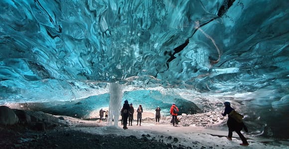 Top ratedMulti-day trip · 2 daysFrom Reykjavik 2-Day South Coast Tour with Blue Ice Cave★ 4.7 263 reviews✓ Free cancellation✓ Pickup availableBooked 4 times yesterdayfrom €639 per personSee availability →
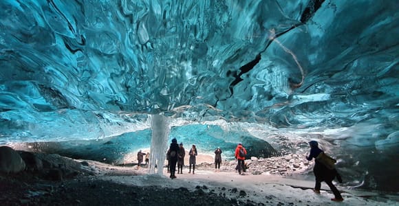 Multi-day trip · 3 daysFrom Reykjavik: 3-Day South Coast Winter Tour with Ice Cave★ 4.8 209 reviews✓ Free cancellation✓ Pickup availableBooked 4 times yesterdayfrom €829 per personSee availability →
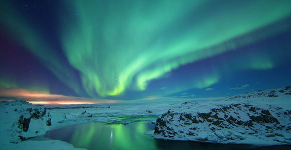 Multi-day trip · 7 daysFrom Reykjavík: 7-Day Around Iceland Ring Road & Snæfellsnes★ 4.7 82 reviews✓ Free cancellation✓ Pickup availablefrom €2,000 per personSee availability →
Black Sand Beach and Reynisdrangar Stacks
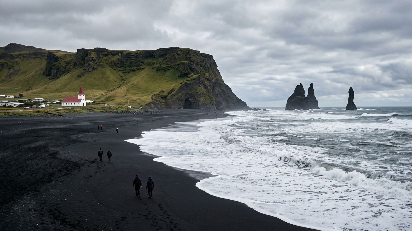
The beach at Vík features black basalt sand. Offshore stand the Reynisdrangar, tall stacks of basalt rock that are remnants of a once more extensive cliffline. A monument to the memory of drowned seamen sits on the beach.
The sea around the stacks is wild and stormy. Check safetravel.is for current warnings before visiting. Never turn your back to the water.
The same black sand continues east to Reynisfjara beach. Both beaches appear on day trips from Reykjavík that cover the south coast.
- Single location combines black sand beach, puffin viewing and basalt sea stacks
- Accessible on the main ring road
- Accommodation capacity of 1,400 rooms supports overnight stops on south coast itineraries
- Dyrhólaey's 120-metre elevation offers views of Mýrdalsjökull glacier and Reynisdrangar stacks
- Warmest place in Iceland with an annual mean temperature of 5.3 °C
- Wettest coastal town in Iceland with 2,250 mm of annual rainfall
- Stormy seas around Reynisdrangar make the water dangerous
- Puffin viewing limited to nesting season in summertime
- Weather conditions can change rapidly
Dyrhólaey Peninsula and Lighthouse
Dyrhólaey is a small promontory not far from Vík. The peninsula was formerly a volcanic island. The volcano erupted about 100 thousand years ago during the Pleistocene. It now rises 120 metres above sea level.
The Dyrhólaey Lighthouse was built in 1927 and sits at the top of the formation facing the sea. Access is by a steep switchback road that was rebuilt and paved in 2022. From the top you can see Mýrdalsjökull glacier to the north and the Reynisdrangar stacks to the east.
In front of the peninsula stands a gigantic black arch of lava in the sea. The name Dyrhólaey means "door hill island" and refers to this natural arch.
Puffin Colonies in Summer
Atlantic puffins nest on the cliff faces of Dyrhólaey in summertime. The cliffs west of Vík beach also host puffins that burrow into the shallow soils during nesting season. Viewing is weather-dependent and requires patience.
Check before you go whether access restrictions apply. Puffins are also seen on dedicated puffin tours in other parts of Iceland, including boat trips from Reykjavík.
| Location | Elevation | Puffin Viewing | Access |
|---|---|---|---|
| Dyrhólaey | 120 metres | Summer nesting season | Paved switchback road |
| Vík beach cliffs | Variable | Summer nesting season | Walk from village |
| Reynisdrangar stacks | Offshore | Not accessible | View from beach |
Compare prices, reviews and free-cancellation options before you book.
Check availability →Vík Church and Evacuation Plans
Vík Church sits on a high hill overlooking the village. Vík lies directly south of Mýrdalsjökull glacier.
Residents may have only 15 minutes to evacuate to the church at the first sign of an eruption. The building serves as the designated assembly point. Visitors interested in volcanic geology can see eruption simulations at the Lava Show in Reykjavík before travelling south.
Combining Vík with Other South Coast Stops
Most tours package Vík with waterfalls, glaciers and lagoons into itineraries. Multi-day tours allow time to visit Diamond Beach and Fjaðrárgljúfur canyon further east.
Glacier hikes on Sólheimajökull and ice cave visits often depart from areas near Vík. Check whether your tour includes pick-up from the village or requires you to drive to a separate meeting point.
Travellers who prefer flexibility can book private tours or follow self-drive itineraries. Both options let you set your own pace along the south coast.
Compare prices, reviews and free-cancellation options before you book.
Check availability →Weather and Practical Notes
Vík is the warmest place in Iceland, with an annual mean temperature of 5.3 °C. It is also the wettest coastal town, receiving 2,250 mm of rain each year. Waterproof layers and sturdy footwear are essential in all seasons.
Wind can be strong on Dyrhólaey and the open beach. Secure loose items and watch children closely near cliff edges.
Check tour details on GetYourGuide for guided options. Overnight stays give you time to explore when fewer tour groups are present.
Vík packs black sand, basalt stacks, puffin cliffs and glacier views into a compact area on the south coast. The trade-off is heavy rainfall and unpredictable seas that require constant weather checks and caution near the water.
More tours to compare
More on GetYourGuide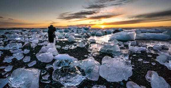 Day trip · 1 dayGlacier Lagoon Jökulsárlón & Fjallsárlón, Diamond Beach, Vík✓ Free cancellation✓ Pickup availablefrom €181 per personSee availability →
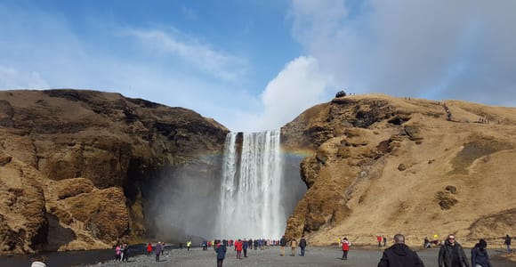 Private tour · 1 hourIceland: South Coast Private Tour with Driver-Guide✓ Free cancellation✓ Pickup availablefrom €1,348 per groupSee availability →
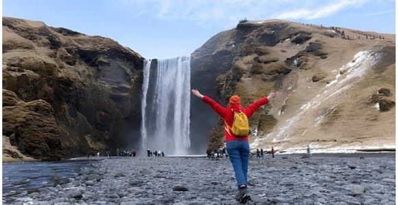 Day trip · 9 hoursSmall-Group South Coast Tour from Reykjavik Cruise Terminal✓ Free cancellation✓ Pickup availablefrom €115 per personSee availability →
Frequently asked questions
How far is Vík from Reykjavík?
Vík is around 180 km southeast of Reykjavík by road. The drive follows Route 1, the main ring road.
When can you see puffins at Dyrhólaey and Vík?
Atlantic puffins nest on the cliff faces of Dyrhólaey and the cliffs west of Vík beach in summertime. Check before you go for current access rules during nesting season.
Is it safe to walk on the black sand beach at Vík?
The sea around Reynisdrangar is wild and stormy. Always check safetravel.is for current conditions and never turn your back to the water.
How high is Dyrhólaey?
Dyrhólaey peninsula has an elevation of 120 metres. The Dyrhólaey Lighthouse, built in 1927, sits at the top of the formation facing the sea.