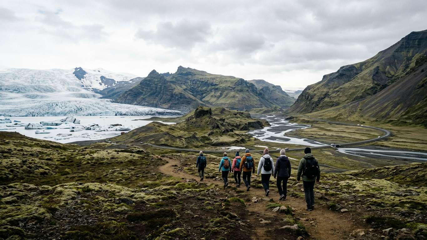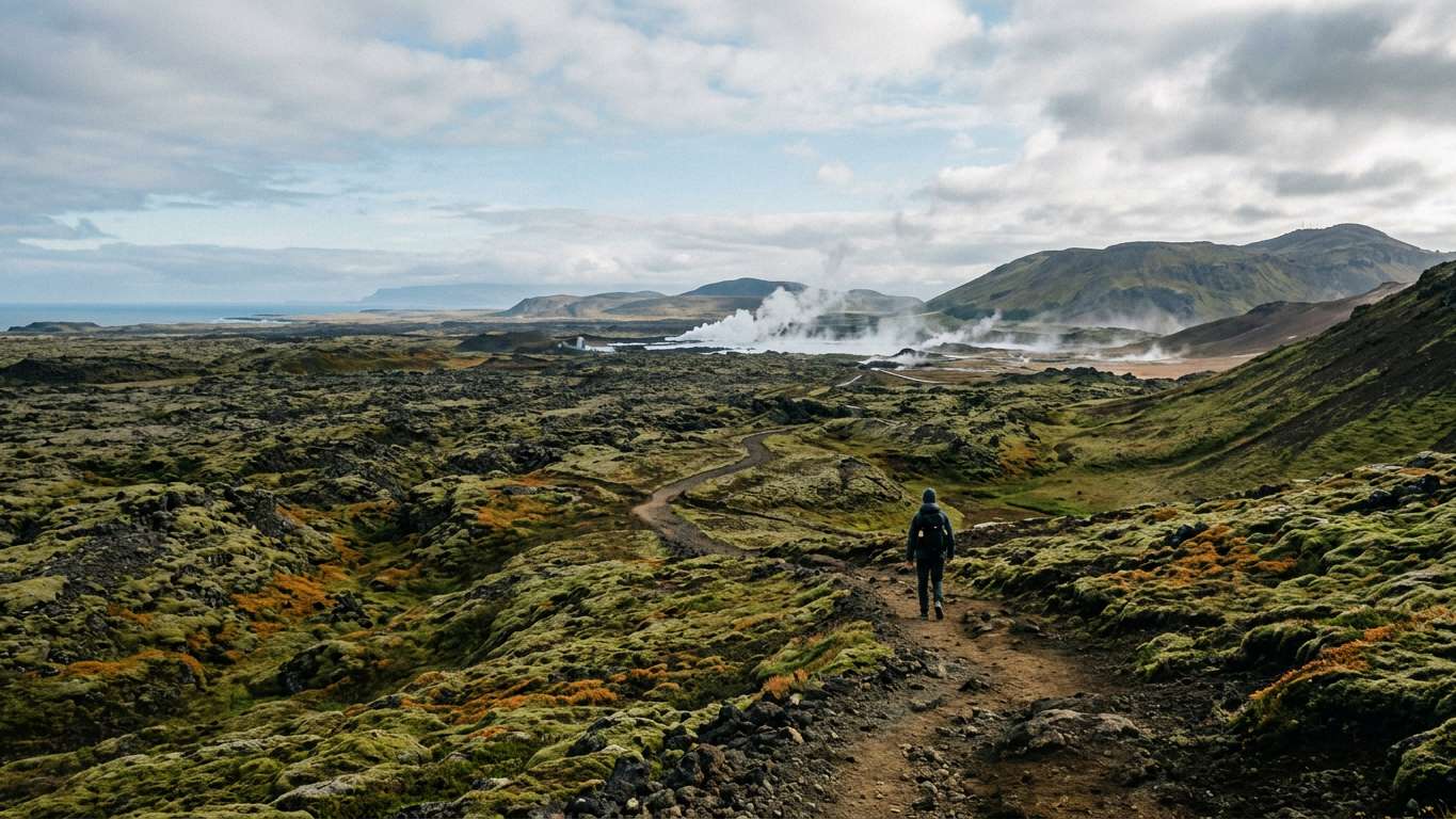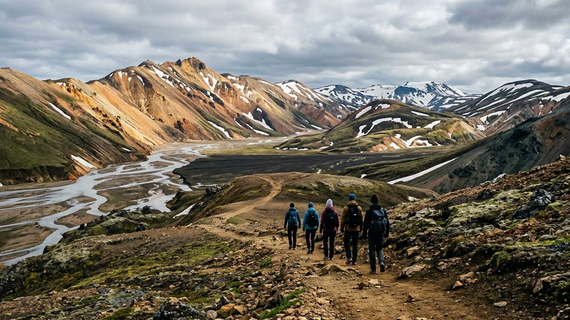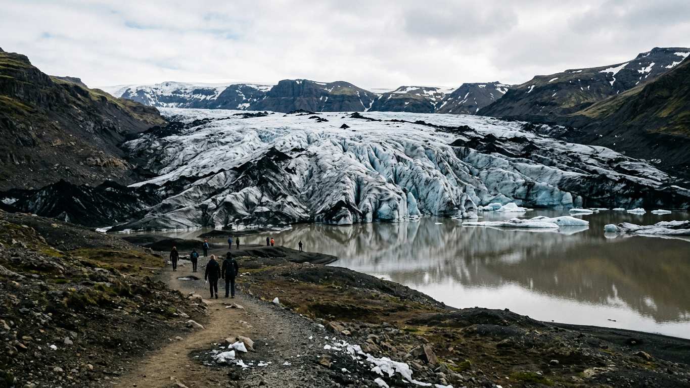
- Sólheimajökull sits between the Katla and Eyjafjallajökull volcanoes on the Mýrdalsjökull ice cap
- The glacier is melting 60 metres per year and poses risk from glacial lake outburst floods
- Summer 2026 warnings advised of unstable and unsafe conditions on the glacier and hiking trails
- Check safetravel.is for current conditions before planning your visit
Location and How to Reach the Glacier
Sólheimajökull is located near the town of Vík í Mýrdal in southern Iceland. Vík í Mýrdal is about 180 km southeast of Reykjavík. The glacier is an outlet of the larger Mýrdalsjökull ice cap, which sits atop the Katla volcano caldera.
The site sits between two of Iceland's most famous volcanoes: Katla and Eyjafjallajökull. Most visitors reach the glacier as part of south coast tours. These tours also include Skógafoss waterfall and Reynisfjara black sand beach.
You can combine a visit with other nearby attractions including Seljalandsfoss and the village of Vík. Many travellers make this stop on day trips from Reykjavík or during longer journeys along the Ring Road.
Sólheimajökull Glacier Hikes
More on GetYourGuide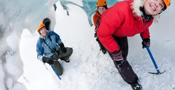 Top ratedGuided tour · 4 - 13.5 hoursSólheimajökull: Blue Ice Glacier Hike near Vík★ 4.7 1 507 reviews✓ Free cancellation✓ Pickup availablefrom €93 per personSee availability →
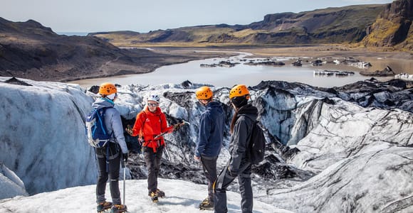 Day trip · 3.5 - 5.5 hoursSólheimajökull: Guided Glacier Hike★ 4.8 179 reviews✓ Free cancellationfrom €93 per personSee availability →
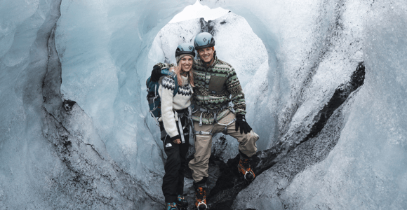 Day trip · 10 hoursReykjavik: South Coast & Solheimajökull Glacier Hike★ 4.8 6 reviews✓ Free cancellation✓ Pickup availableAvailable tomorrowfrom €186 per personSee availability →
Why Guided Hikes Are Recommended
The glacier sits on the Katla caldera and experiences potentially dangerous glacial lake outburst floods.
In summer 2026, official warnings stated that both the glacier and hiking access routes had unstable and unsafe conditions. The ice is melting rapidly at approximately 60 metres per year owing to warmer annual temperatures.
Check tour operators for what safety equipment and guidance they provide. Check safetravel.is before you go for current warnings and access status. Safetravel is run by ICE-SAR, a volunteer rescue organisation with over 4500 specialists available day and night.
- Accessible location near Vík on the south coast drive
- Part of Mýrdalsjökull ice cap, which sits atop the Katla caldera
- Combines easily with other <a href="/south-coast-tours/">south coast attractions</a> on the same route
- Visible evidence of rapid climate change in glacial retreat
- Check tour operators for guided hike availability
- Potentially dangerous glacial lake outburst floods can occur without warning
- Unstable conditions on the glacier and access routes due to rapid melting
- Weather and conditions change quickly in this volcanic region
Glacier Features and Viewing Points
The glacier tongue extends down from the Mýrdalsjökull ice cap towards the coastal plain. Meltwater may form a lagoon at the glacier snout.
Black volcanic ash stripes the ice in layers, showing historical eruptions from the volcanoes beneath. The blue ice, crevasses, and moulins create dramatic scenery for photography.
A viewpoint near the glacier area allows you to see the glacier face without stepping onto the ice.
The glacier's rapid retreat means the landscape changes significantly year to year. Features visible in photographs from previous seasons may no longer exist.
Safety Warnings and Conditions
Weather and road conditions in Iceland can change fast. The glacier area faces additional hazards from volcanic activity and glacial flooding.
Occasional glacial lake outburst floods may use this route to reach the sea. These floods occur without warning and carry massive volumes of water and debris.
The 2026 summer warnings highlighted that melting has destabilised both the glacier surface and the hiking trails leading to it. Crevasses open unexpectedly and ice bridges collapse.
Always check safetravel.is and road.is before travelling to the area.
Compare prices, reviews and free-cancellation options before you book.
Check availability →Comparing Sólheimajökull with Other Glacier Hikes
| Glacier | Location | Access Level | Notable Features |
|---|---|---|---|
| Sólheimajökull | South coast near Vík | Check tour operators for access | Katla volcano beneath, 60m yearly melt |
| Langjökull | West interior | Check tour operators for access | Check tour details for features |
| Skaftafell outlet | Southeast | Check tour operators for access | Check tour details for features |
Each glacier offers different terrain and volcanic geology. Sólheimajökull shows visible climate impacts through its rapid retreat. Glacier hiking tours are available at various locations in Iceland.
Combining with Other South Coast Stops
Most visitors include Sólheimajökull on longer south coast itineraries. Popular combinations include Skógafoss, Reynisfjara, and Vík on the same day.
The Katla ice cave sits within the same Mýrdalsjökull system. Some itineraries continue east to Jökulsárlón glacier lagoon, which is accessible from the Ring Road.
If travelling independently, plan your route carefully. Small group tours handle logistics and provide context about volcanic and glacial processes.
Compare prices, reviews and free-cancellation options before you book.
Check availability →Planning Your Visit
Check tour operators for availability and booking requirements.
Dress in layers with waterproof outer garments. Check with tour operators about what equipment they provide and what you should bring.
Check safetravel.is the morning of your visit for any new warnings or closures. Road.is shows current road conditions and any restrictions.
Allow flexibility in your schedule. Poor weather or dangerous conditions can cancel tours at short notice. Check refund and rebooking policies when booking.
Sólheimajökull offers dramatic evidence of glacial retreat. The glacier's position between Katla and Eyjafjallajökull adds volcanic hazards that demand up-to-date safety checks before any visit.
More tours to compare
More on GetYourGuide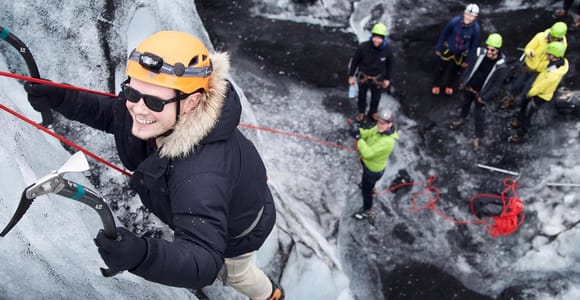 Guided tour · 4 hoursSólheimajökull Ice Climb and Glacier Hike★ 4.9 69 reviews✓ Free cancellationfrom €205 per personSee availability →
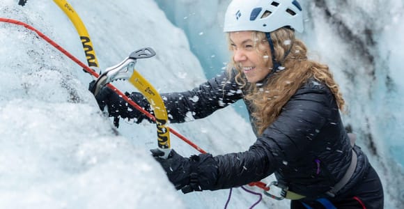 Day trip · 5.5 - 13 hoursReykjavík: Sólheimajökull Glacier Hike & Ice Climbing Intro★ 4.8 472 reviews✓ Free cancellation✓ Pickup availablefrom €182 per personSee availability →
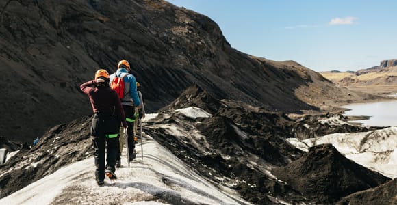 Guided tour · 3 hoursVik: Guided Sólheimajökull Glacier Hike★ 4.7 257 reviews✓ Free cancellationfrom €104 per personSee availability →
Frequently asked questions
Can you walk on Sólheimajökull glacier without a guide?
The glacier has unstable conditions, crevasses, and risk of glacial lake outburst floods. Summer 2026 warnings stated both the glacier and access routes were unsafe. Check tour operators for guided options.
How far is Sólheimajökull from Reykjavík?
Sólheimajökull is located near Vík, which is about 180 km southeast of Reykjavík. Most visitors reach the glacier on south coast trips.
Why is Sólheimajökull glacier melting so quickly?
Sólheimajökull is melting at approximately 60 metres per year owing to warmer annual temperatures from climate change. The rapid retreat has created unstable conditions on both the ice and hiking trails.
Where should I check for Sólheimajökull safety warnings?
Check safetravel.is before visiting Sólheimajökull for current warnings about glacier and access conditions. Also check road.is for road status and any closures. Safetravel is run by ICE-SAR.
What is the glacier lagoon at Sólheimajökull?
Meltwater from Sólheimajökull may form a lagoon at the glacier snout. The glacier is an outlet of Mýrdalsjökull ice cap, which sits atop the Katla volcano caldera.