- The volcano lies on the Reykjanes Peninsula, around 40 kilometres from Reykjavík and around 20 kilometres from Keflavík International Airport
- Three eruptions have occurred since 2021, with the 2023 eruption near Litli-Hrútur ending on 5 August 2023
- The hike to the site is around 6-8 kilometres each way and takes around 3-6 hours. Terrain is extremely steep and uneven.
- Check safetravel.is before you go for current access rules, toxic gas warnings and new fissure risks
Eruption History and Timeline
No volcanic eruption had occurred for 815 years on the Reykjanes Peninsula until 19 March 2021. Fagradalsfjall had lain dormant for 6,000 years before the eruption fissure appeared in Geldingadalir to the south of Fagradalsfjall mountain.
The 2021 eruption started at approximately 20:45 local time on 19 March 2021. Fresh lava continued to emerge sporadically until 18 September 2021. The rim of the volcano had risen to a height of 334 metres above sea level by September 2021.
A second eruption began on 3 August 2022 after over 10,000 recorded earthquakes from 30 July to 3 August. An estimated 12 million cubic metres of lava erupted before it ceased on 21 August 2022. Over 1,830 people visited on the first day of the 2022 eruption.
A third eruption appeared near Litli-Hrútur on 10 July 2023. The initial lava flow was estimated to be 10 times more than the first eruption. Multiple eruptive fissures stretched for over 1 kilometre between Fagradalsfjall and Keilir. Volcanic activity at the site ceased on 5 August 2023.
If you want to see other volcanic features in Iceland, consider a volcano tour. You can also visit the lava tunnel for underground formations.
Fagradalsfjall Volcano Tours and Reykjanes Peninsula Excursions
More on GetYourGuide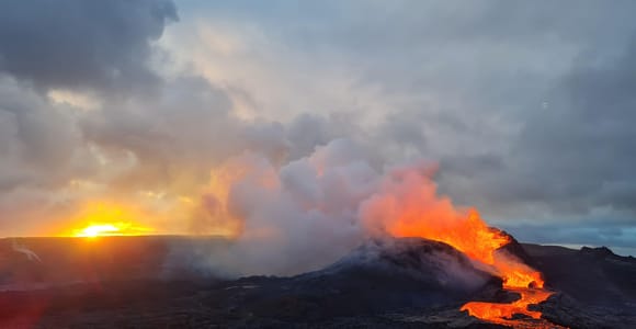 Top ratedDay trip · 4 - 6 hoursFrom Reykjavík: Fagradalsfjall Volcano Hike with Geologist★ 4.8 882 reviews✓ Free cancellationfrom €139 per personSee availability →
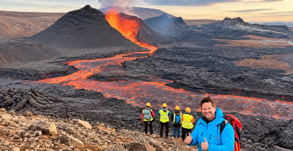 Day trip · 4 - 6 hoursFagradalsfjall Volcano Hike: The Original Local Experience★ 4.9 740 reviews✓ Free cancellationBooked 3 times yesterdayfrom €137 per personSee availability →
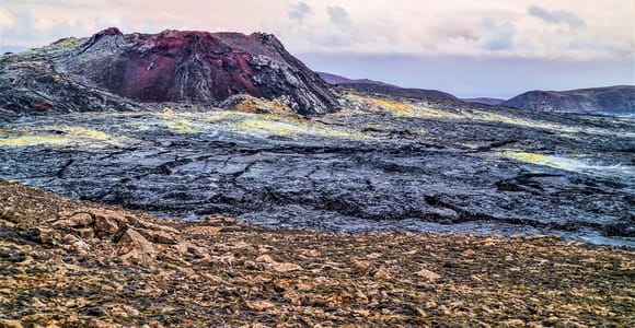 Day trip · 7 hoursReykjavík: Guided Afternoon Hiking Tour to New Volcano Site★ 4.4 950 reviews✓ Free cancellation✓ Pickup availablefrom €121 per personSee availability →
Location and Access
Fagradalsfjall sits on the Reykjanes Peninsula around 40 kilometres from Reykjavík. The site is around 20 kilometres from Keflavík International Airport. Access is a short distance from Grindavík along paved Road 427.
Limited parking is available by the trailhead. The volcanic system covers an area 5 kilometres wide and 16 kilometres long. The highest summit in the area is Langhóll at 385 metres.
The eruption produces little to no ash due to its effusive nature. This means it is not considered a risk to air traffic. The Reykjanes Peninsula has become a focal point for volcanic tourism, with multiple sites and geothermal features nearby.
- Access is a short distance from Grindavík along paved Road 427
- The volcanic system covers 5 kilometres wide and 16 kilometres long, creating dramatic lava fields to explore
- No deaths have been reported as a result of the eruption despite hundreds of thousands of visitors
- The effusive nature of the eruption produces little to no ash, so air traffic is not affected
- Limited parking is available by the trailhead off paved Road 427 near Grindavík
- The route is poorly signed due to the recency of the eruption and terrain changes constantly
- Toxic gas pollution can be a risk depending on wind direction, with high levels of carbon dioxide and carbon monoxide
- Many parts of the route are extremely steep with uneven rocky ground unsuitable for inexperienced hikers
- Unpredictable lava flows and new fissures can open up without warning
- Access rules change frequently, so always check official sources before travelling to the site
Hiking to the Lava Fields
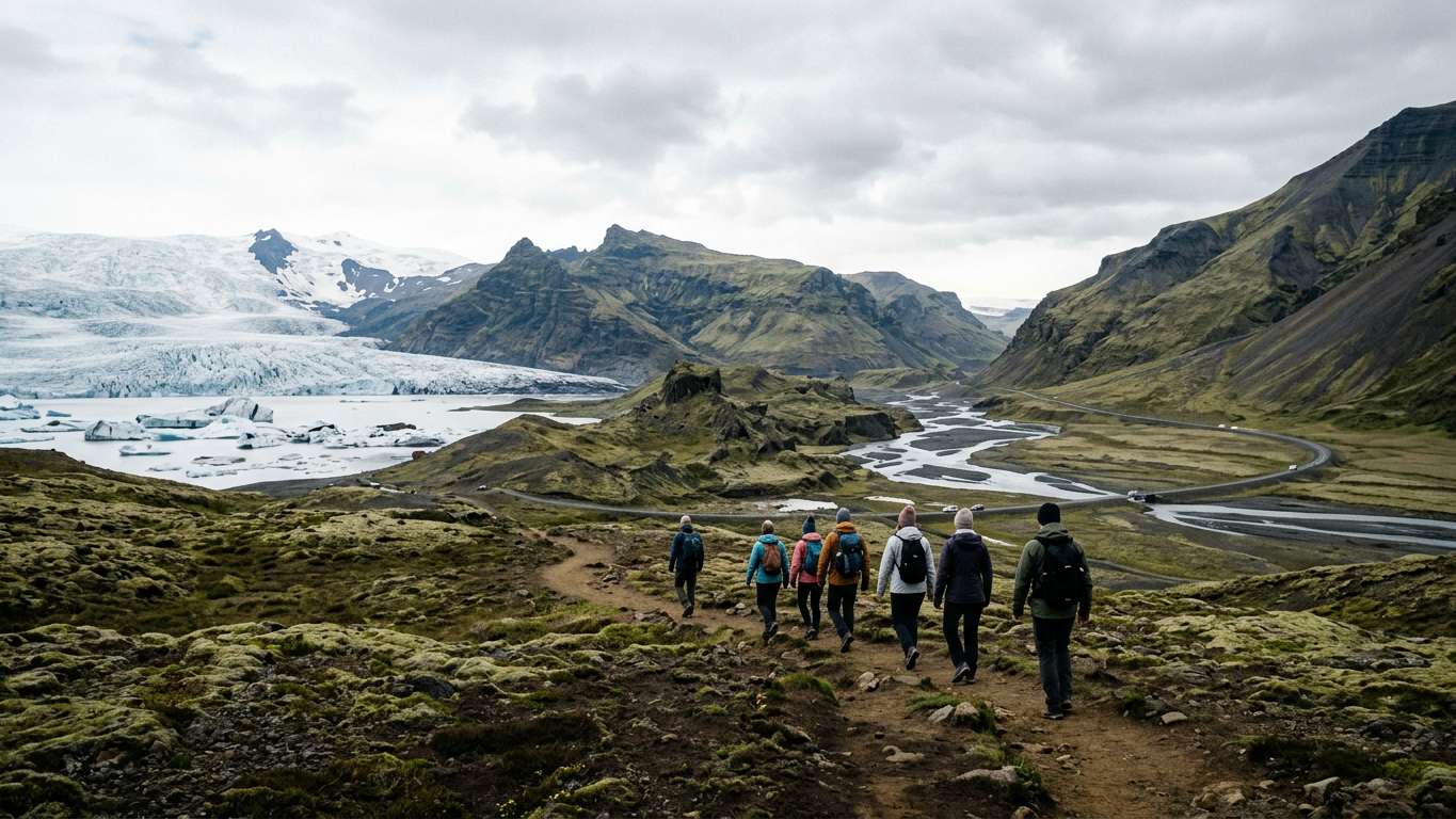
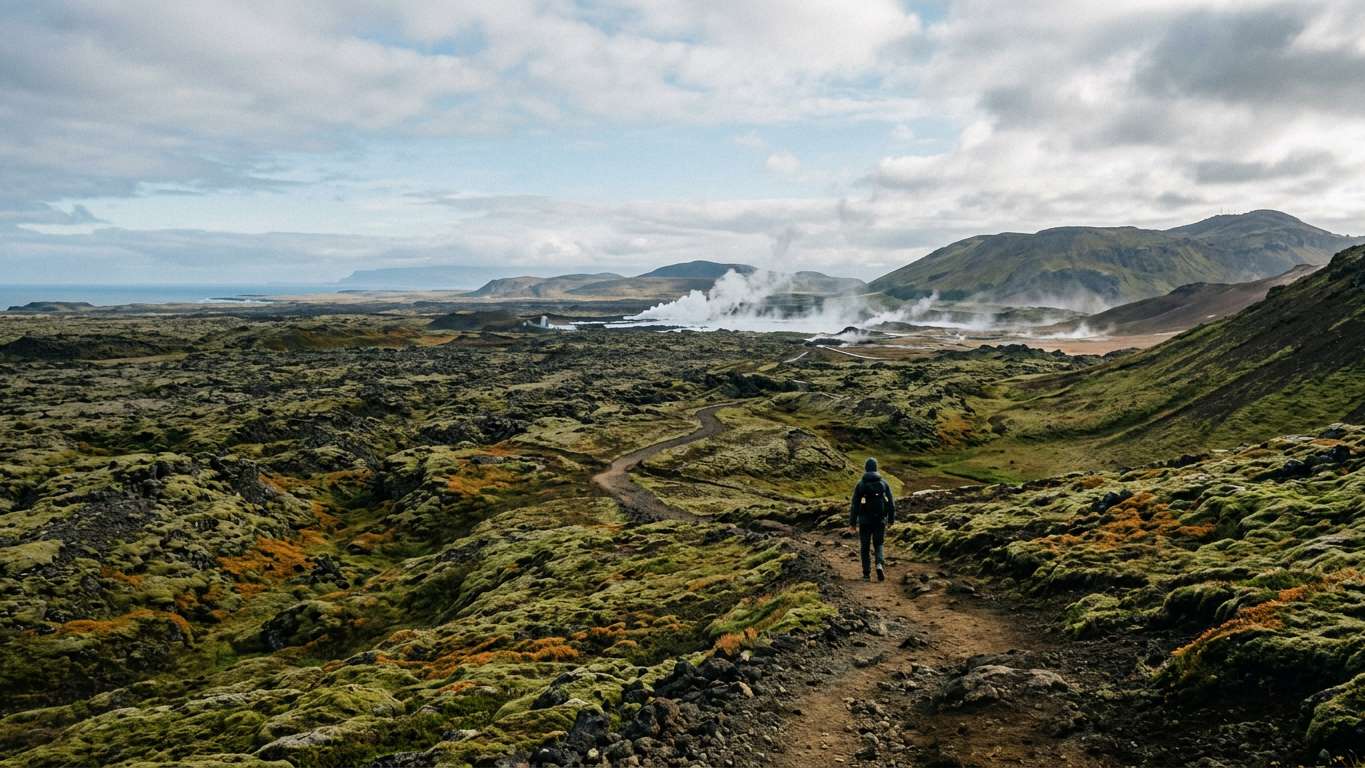
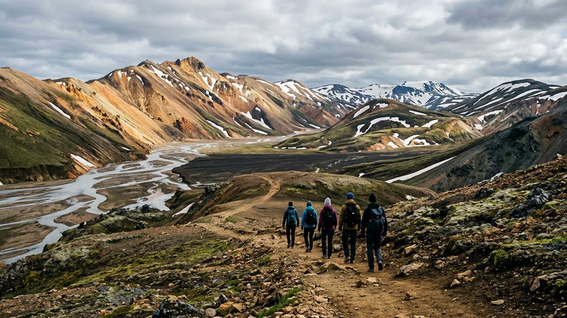
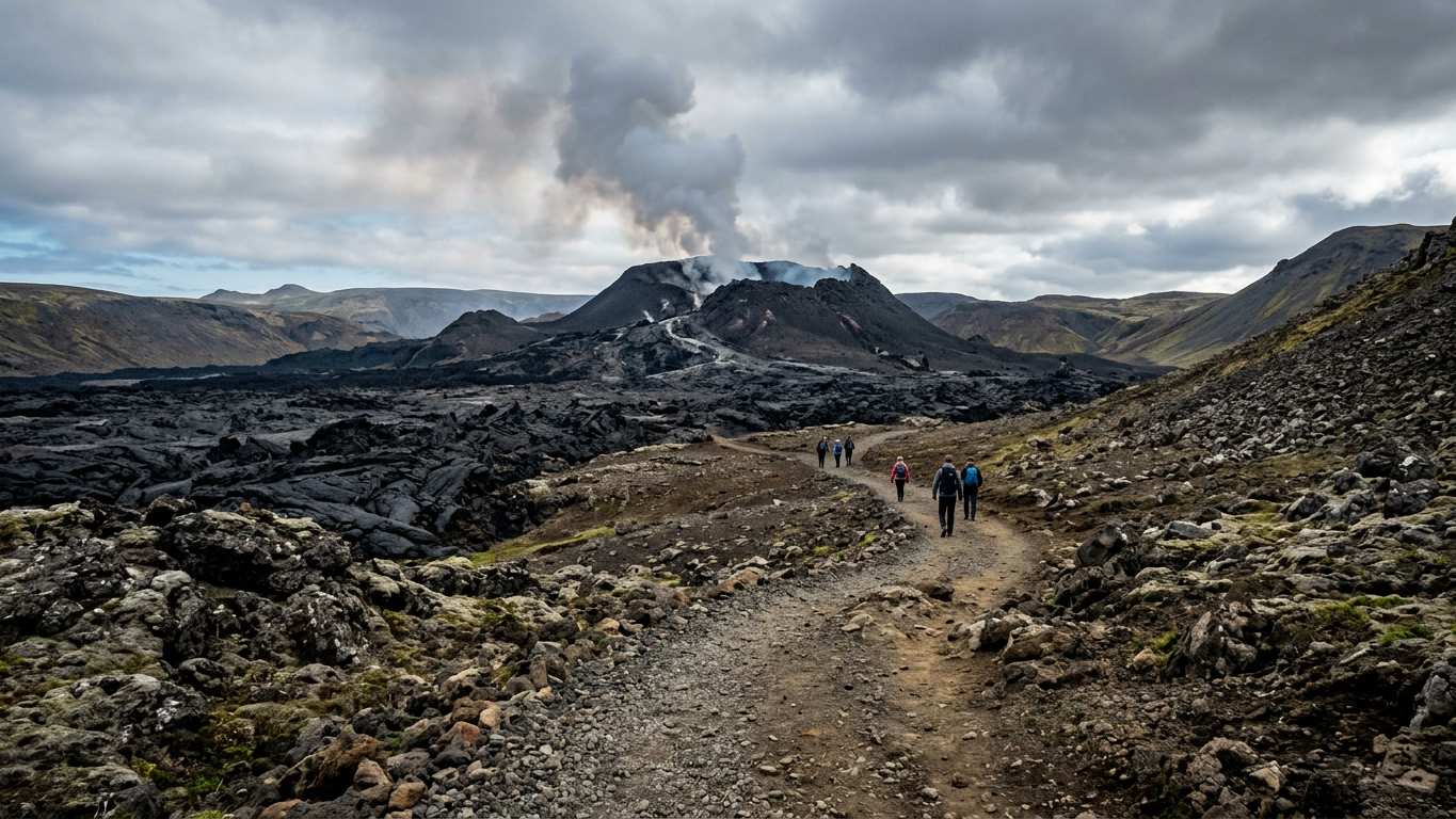
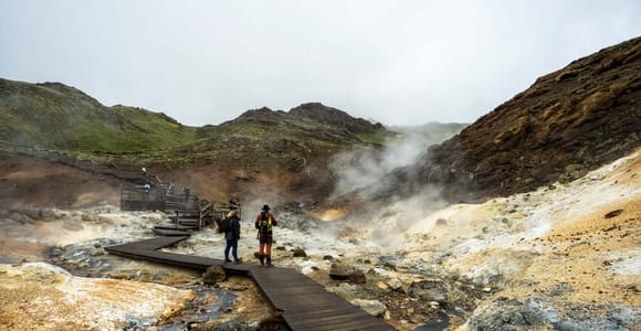
The hike to the site is around 6-8 kilometres each way. Hiking time takes around 3-6 hours depending on fitness and conditions. Many parts of the route are extremely steep with uneven rocky ground.
The route is poorly signed due to the recency of the eruption. Terrain changes constantly as lava cools and new paths form. Dress in layers and bring more water than you think you need for the exposed trail.
The trailhead is accessible from paved Road 427, but the path itself is challenging. If you prefer less demanding terrain, consider a day trip from Reykjavík with easier walking. You can also take a helicopter tour for aerial views.
| Route Element | Detail |
|---|---|
| Distance each way | 6-8 kilometres |
| Total hiking time | 3-6 hours |
| Terrain type | Extremely steep, uneven rocky ground |
| Signage quality | Poorly signed |
Safety and Hazards
High levels of volcanic gases such as carbon dioxide and carbon monoxide made parts of the area inaccessible. Toxic gas pollution can be a risk depending on wind direction. Always check safetravel.is before you go.
Unpredictable lava flows and new fissures opening up are ongoing risks at the site. No deaths have been reported as a result of the eruption, but conditions can change quickly. Around 10,000 people visited the 2022 eruption on its first day.
The site requires proper preparation. Check road.is for access updates. If you want a safer option with supervision, look at small group tours that include safety briefings and equipment.
Compare prices, reviews and free-cancellation options before you book.
Check availability →Visitor Numbers and Popularity
An estimated 700,000 people have visited the area since the 2021 eruption. Over 1,830 people visited on the first day of the 2022 eruption. The site became one of the most popular attractions in Iceland almost overnight.
The site is around 40 kilometres from Reykjavík and around 20 kilometres from Keflavík airport. The eruption created a rare opportunity to witness active lava flows on foot. Many visitors combine the volcano with other south coast tours on the same trip.
If you have limited time, consider a super jeep tour that can cover more ground quickly. You can also plan a longer multi-day tour to explore the peninsula thoroughly.
Comparing Volcano Experiences in Iceland
Fagradalsfjall offers a different experience compared to other volcanic sites. The Inside the Volcano tour descends into a dormant magma chamber, while Fagradalsfjall shows recent surface activity.
The Lava Show in Reykjavík recreates flowing lava indoors, a safer option for families or those unable to hike. The Katla ice cave combines volcanic and glacial features under Mýrdalsjökull.
| Volcano Experience | Activity Level | Environment |
|---|---|---|
| Fagradalsfjall hike | Strenuous (6-8 km each way) | Outdoor, recent lava fields |
| Inside the Volcano | Moderate (descent into chamber) | Indoor dormant magma chamber |
| Lava Show Reykjavík | Easy (indoor seated) | Indoor demonstration |
| Katla ice cave | Moderate (super jeep access) | Subglacial cave and volcanic ash |
Each option suits different fitness levels and interests. Check safetravel.is for current conditions at outdoor sites before you book.
Compare prices, reviews and free-cancellation options before you book.
Check availability →Planning Your Visit
The site is around 60 kilometres from Reykjavík. Allow a full day for the hike and drive. Check weather forecasts and wind direction before you leave, as conditions change rapidly on the Reykjanes Peninsula.
Pack layers, waterproofs and sturdy boots with ankle support. Bring enough food and water for the entire hike. Access is a short distance from Grindavík along paved Road 427.
Access rules change frequently based on volcanic activity and safety assessments. Always check safetravel.is and road.is before you travel to the site. If the route is closed, consider Reykjavík walking tours or visit Perlan museum for volcanic exhibits instead.
Fagradalsfjall offers accessible views of recent volcanic activity in Iceland. An estimated 700,000 people have visited the area since 2021. The hike is challenging with steep terrain and potential gas hazards. Always check safetravel.is for current access rules before you go.
More tours to compare
More on GetYourGuide BestsellerDay trip · 9 hoursFrom Reykjavík: Volcanoes and Blue Lagoon Day Trip★ 4.7 801 reviews✓ Free cancellation✓ Pickup availableBooked 2 times yesterdayfrom €224 per personSee availability →
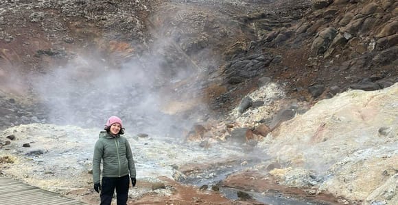 Day trip · 9 hoursFrom Reykjavík: Hiking Tour of Reykjanes' Volcano Circle✓ Free cancellation✓ Pickup availablefrom €134 per personSee availability →
 Day trip · 7 hoursReykjavík: Volcanoes, Grindavík, Hot Springs, & Lava Tour★ 4.8 179 reviews✓ Free cancellation✓ Pickup availablefrom €111 per personSee availability →
Frequently asked questions
How long does the hike to Fagradalsfjall take?
The hike is around 6-8 kilometres each way and takes around 3-6 hours in total. Terrain is extremely steep with uneven rocky ground.
When did Fagradalsfjall last erupt?
The most recent eruption began on 10 July 2023 near Litli-Hrútur and ended on 5 August 2023. Previous eruptions occurred in 2021 and 2022 after 6,000 years of dormancy.
How far is Fagradalsfjall from Reykjavík?
Fagradalsfjall is around 40 kilometres from Reykjavík and around 20 kilometres from Keflavík International Airport. Access is from paved Road 427 near Grindavík.
Is it safe to visit Fagradalsfjall volcano?
No deaths have been reported from the eruption, but toxic gas pollution and unpredictable lava flows are ongoing risks. Always check safetravel.is before you go for current conditions.
How many people have visited Fagradalsfjall?
An estimated 700,000 people have visited the area since the 2021 eruption. Over 1,830 people visited on the first day of the 2022 eruption alone.