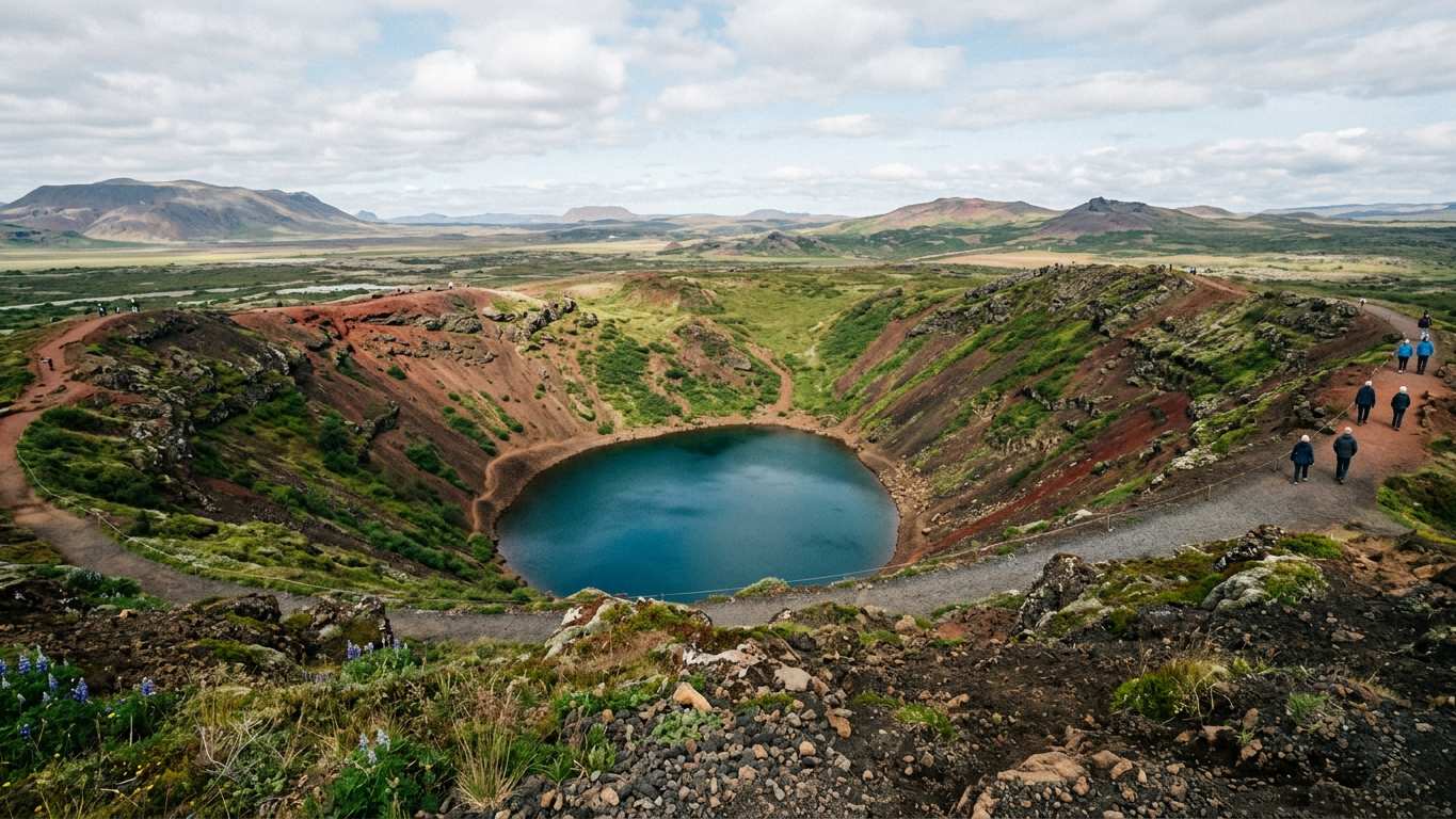
- Kerið is a maar crater formed by explosive volcanic activity between 6,420 and 9,000 years ago
- The crater measures 55 metres deep, 170 metres wide and 270 metres across with an aquamarine lake at the bottom
- One sloped wall covered in moss allows easy descent to the lake shore
- The land is privately owned by Arctic Adventures, which bought the site in 2023
What Kerið Crater Is
Kerið is a volcanic crater lake located in the Grímsnes area of south Iceland, along the Golden Circle. The crater formed through explosive volcanic activity and is classified as a maar. Sources differ on the eruption date, ranging from 6,420 to 9,000 years ago.
The crater is the northernmost of four craters along an 800-metre fissure called the Tjarnarhólar row. Kerið sits within Iceland's Western Volcanic Zone, which includes the Reykjanes peninsula and Langjökull Glacier.
The elliptical crater measures 55 metres deep, 170 metres wide and 270 metres across. A shallow lake fills the bottom, measuring 6 to 14 metres deep depending on groundwater levels. Minerals from the surrounding soil give the water its distinctive aquamarine colour.
Many Golden Circle tours include Kerið as a stop.
Kerið Crater Tours
More on GetYourGuide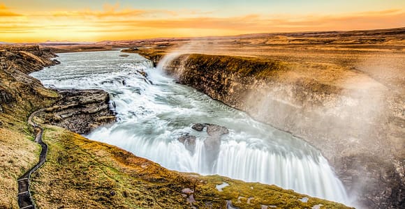 Top ratedBestsellerDay trip · 7 - 8.5 hoursReykjavik: Golden Circle Full-Day Tour with Kerid Crater★ 4.8 27 830 reviews✓ Free cancellation✓ Pickup availableBooked 77 times yesterdayfrom €79 per personSee availability →
 BestsellerDay trip · 10 hoursFrom Reykjavik: Golden Circle, Kerid, & Secret Lagoon Tour★ 4.8 6 554 reviews✓ Free cancellation✓ Pickup availableBooked 15 times yesterdayfrom €115 per personSee availability →
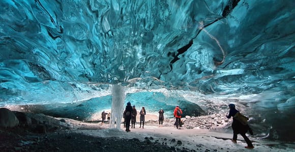 Multi-day trip · 3 daysFrom Reykjavik: 3-Day South Coast Winter Tour with Ice Cave★ 4.8 209 reviews✓ Free cancellation✓ Pickup availableBooked 4 times yesterdayfrom €829 per personSee availability →
Crater Geology and Features
The crater wall consists of basalt and scoria. Most of the crater features steep walls with little vegetation.
One wall slopes more gently and is blanketed with deep moss. This sloped wall can be descended easily, allowing access to the lake shore.
The lake water appears aquamarine due to minerals from the soil. Researchers have identified 10 taxa of zooplankton in the lake, primarily from the Rotifera phylum.
| Measurement | Dimension |
|---|---|
| Depth | 55 metres |
| Width | 170 metres |
| Length | 270 metres |
| Lake depth | 6-14 metres |
- Striking colour contrast between red scoria walls and aquamarine water
- Easy descent via moss-covered slope requires no special equipment
- Located on the Golden Circle route in the Grímsnes area of south Iceland
- Compact site with shallow lake and distinctive elliptical shape
- Entrance fee required despite being a natural site
- Steep walls limit access to only one descent path
- Most crater walls are steep with little vegetation
Visiting Kerið Independently
The land on which the crater sits is owned by Arctic Adventures, which bought the site in 2023. An entrance fee applies.
The sloped wall covered in moss can be descended easily to the water's edge.
Dress in layers and wear sturdy footwear, as Icelandic weather changes rapidly. The moss-covered slope can be slippery when wet.
Kerið is located in the Grímsnes area of south Iceland along the Golden Circle. This makes it convenient for day trips from Reykjavík.
Kerið on Golden Circle Tours
Many Golden Circle itineraries add Kerið as an additional stop. The crater provides a photo opportunity and geological interest.
Check your tour details on GetYourGuide before booking if Kerið is a priority. Not all Golden Circle routes include it.
Compare prices, reviews and free-cancellation options before you book.
Check availability →Comparing Kerið to Other Craters
Kerið is located in the Grímsnes area along the Golden Circle on accessible roads. Highland craters like Víti at Askja or Stóra-Víti at Krafla sit in remote areas.
Unlike Fagradalsfjall volcano, Kerið shows no recent volcanic activity. Sources differ on when Kerið formed, ranging from 6,420 to 9,000 years ago.
The sloped wall at Kerið can be descended easily. Check conditions for other craters before visiting.
Kerið's location on the Golden Circle makes it suitable for travellers who want crater scenery. It requires no commitment to super jeep tours into the highlands.
Photography at Kerið
The colour contrast between the crater walls and aquamarine water creates striking images. The elliptical shape becomes apparent from viewpoints along the rim.
The moss-covered slope provides a contrasting green element. Descending to lake level offers reflection shots of the crater walls in the water.
Weather in Iceland changes rapidly, so carry protective gear for your equipment. Wind at exposed sites can be strong even on calm days.
Compare prices, reviews and free-cancellation options before you book.
Check availability →Practical Considerations
Kerið is located in the Grímsnes area of south Iceland along the Golden Circle route. An entrance fee applies.
Check conditions at safetravel.is before visiting. The moss-covered slope can be slippery when wet.
Combining Kerið with other Golden Circle attractions creates a full itinerary from Reykjavík. Alternatively, include it on a south coast tour that covers multiple regions.
Kerið offers a visually striking addition to Golden Circle itineraries. The easy descent via the sloped moss-covered wall and vivid aquamarine water make it worthwhile if your tour includes it.
More tours to compare
More on GetYourGuide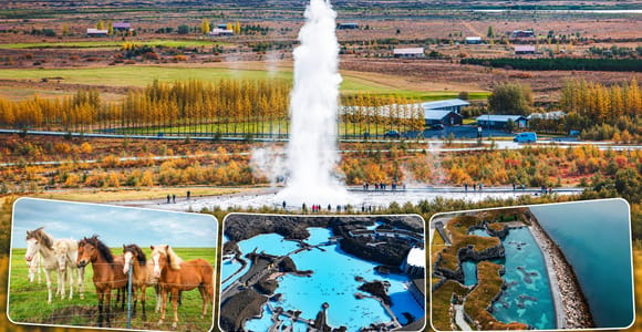 Day trip · 10 hoursFrom Reykjavik: Golden Circle, Horses & Blue or Sky Lagoon✓ Free cancellation✓ Pickup availablefrom €257 per personSee availability →
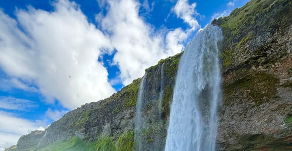 Multi-day trip · 8 daysIceland: 8-Day Ring Road Campervan Guided Tour✓ Free cancellationfrom €1,299 per personSee availability →
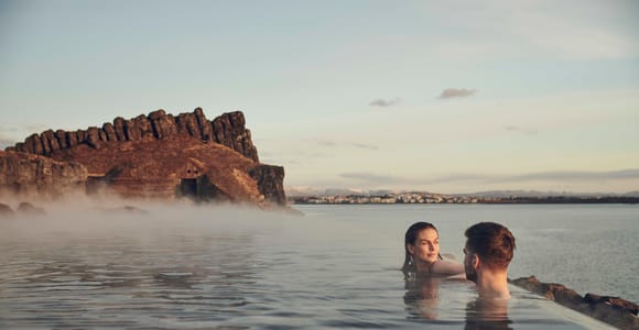 Guided tour · 10.5 hoursReykjavik: Golden Circle, Farm & Sky Lagoon Small-Group Tour★ 4.8 336 reviews✓ Free cancellation✓ Pickup availablefrom €213 per personSee availability →
Frequently asked questions
How deep is Kerið crater?
Kerið measures 55 metres deep from rim to the bottom of the crater. The lake at the bottom is 6 to 14 metres deep depending on groundwater levels.
When did Kerið crater form?
Sources differ on the eruption date, with estimates ranging from 6,420 to 9,000 years ago. The crater formed through explosive volcanic activity and is classified as a maar.
Why is the water at Kerið aquamarine?
Minerals from the soil give the water its distinctive aquamarine colour. The lake is fairly shallow at 6 to 14 metres deep.
Can you walk down to the lake at Kerið?
Yes, one wall slopes gently and is covered with moss. This wall can be descended easily to reach the lake shore.